Indianapolis Faces First Freeze Risk
Temperatures will drop into the upper 20s tonight, with a gradual warm-up expected by Sunday.
By Talia Bennett ·
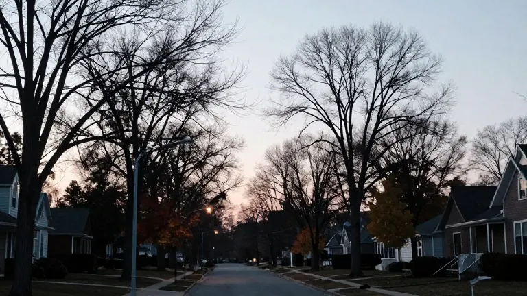
Central Indiana will see overnight lows in the upper 20s to mid-30s tonight as a cold front finishes passing through the region. Isolated light showers and drizzle will persist through late morning on Thursday, November 6. Conditions will dry out by early afternoon, though mostly cloudy skies will remain. Daytime temperatures will hover in the lower 50s, a reading well below the average for early November.
Light winds from the northwest at 5 to 10 mph will accompany the front's passage. Skies are expected to clear out as evening approaches. With dry air and light winds, temperatures will fall quickly after sunset. Downtown Indianapolis should hold near the mid-30s, while outlying areas north and west may dip into the upper 20s. Frost is possible in typically colder locations.
A high-pressure system will keep the weekend calm. Saturday highs will reach the low to mid-50s. Another chilly night is expected between Saturday and Sunday morning, with lows near or just below freezing in some spots. Winds will shift to a southerly direction on Sunday, driving highs into the upper 50s and low 60s.
Early next week will bring a brief reprieve. Monday and Tuesday will see temperatures return to the low to mid-60s, slightly above average. Another cold front is approaching midweek. It will bring a new chance for rain and push temperatures back into the 50s by Thursday.